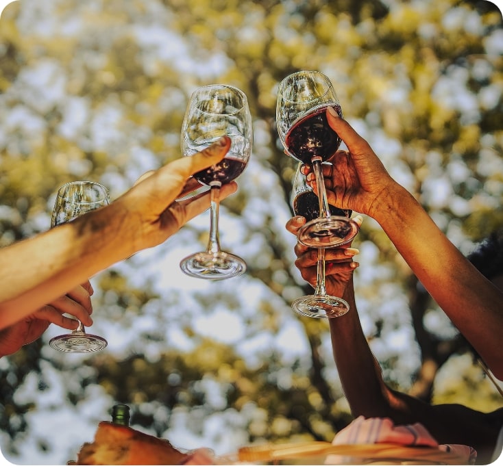
BE LIKE BUSCA OUTDOOR
The beauty
of unspoilt
nature
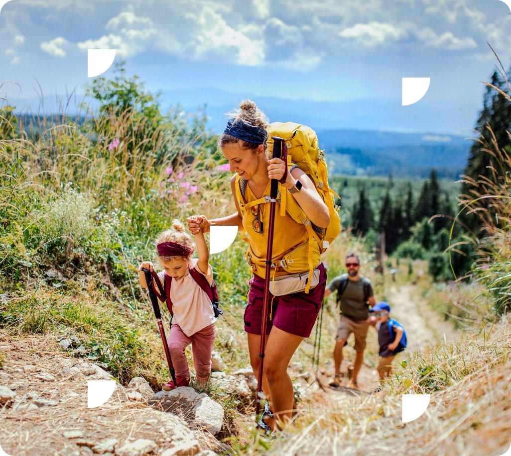
Surrounded by nature, Busca offers a wide range of outdoor activities that appeal to nature lovers, sports enthusiasts and adventure seekers.
Busca: surrounded
by greenery
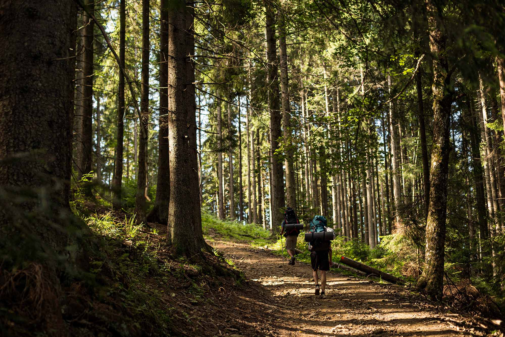
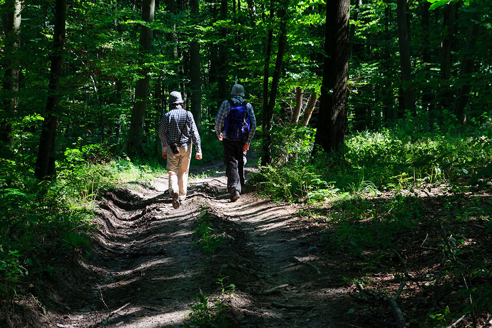
Lose yourself in the unspoilt landscapes of the area of Busca. Hiking and cycling trails will lead you on unforgettable adventures.
Discover activities by category.
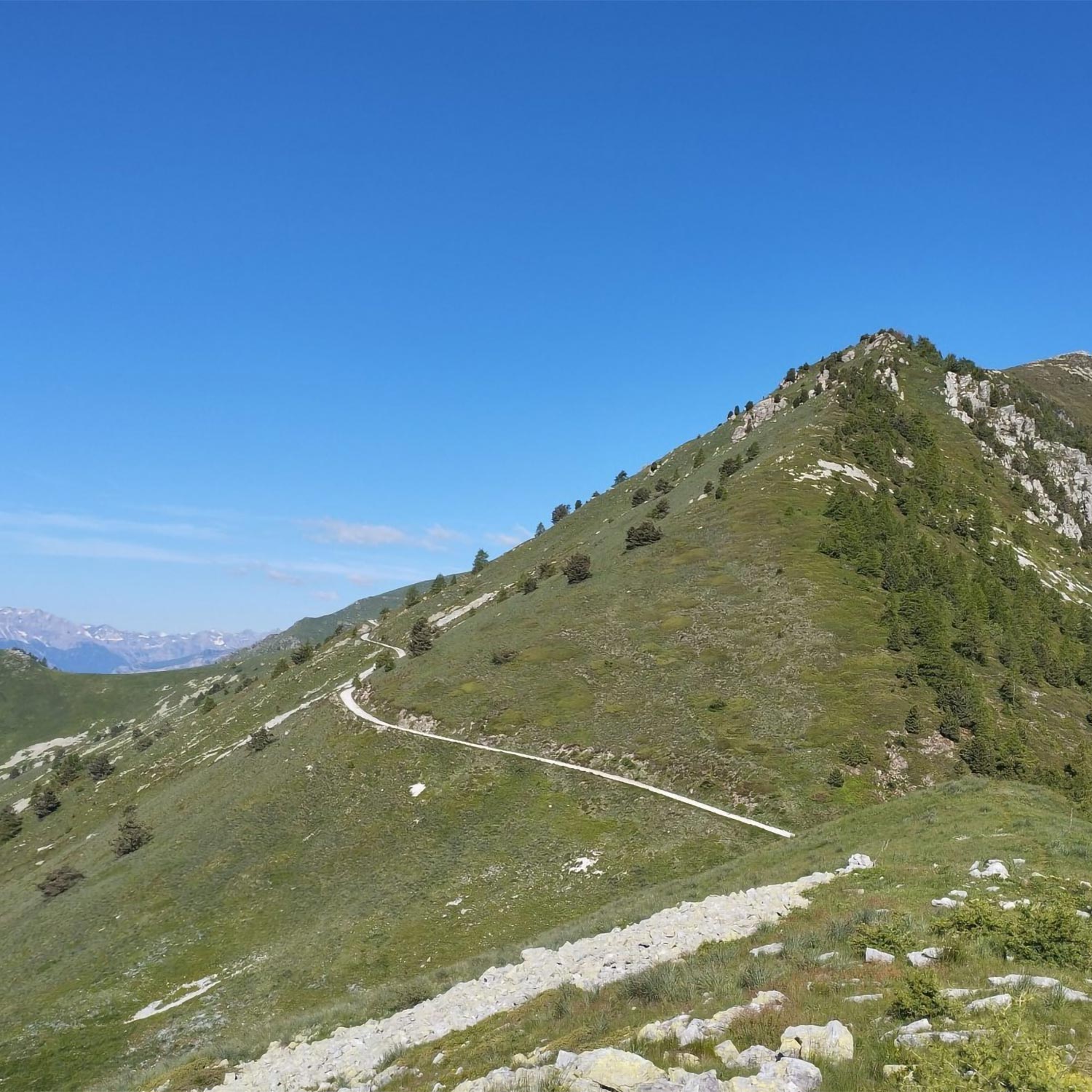
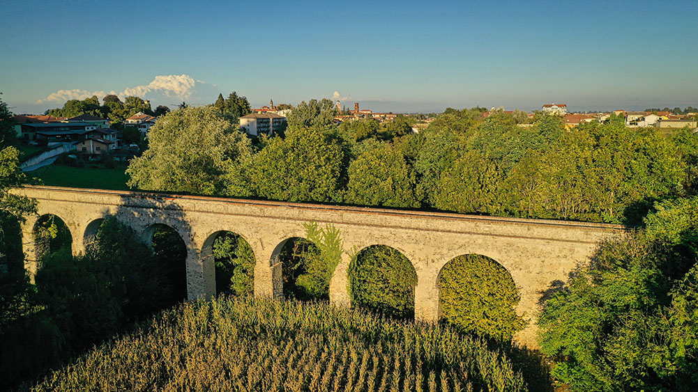
Strada dei cannoni (The road of the cannons)
An ambitious project brings together ten municipalities and two valleys in a joint initiative to revitalise and enhance the mountain environment, designed to promote and develop a new way of experiencing the outdoors, combining nature, culture and sustainable tourism.
The route starts at Colletta di Rossana, in the municipality of Busca, at an altitude of around 600 metres, and after 42 kilometres reaches Colle della Bicocca at 2,285 metres, following the ridge that separates the Maira and Varaita valleys. The construction of this high-altitude road dates back to the early 18th century, commissioned by Carlo Emanuele III as a logistical project. The first major maintenance works took place in 1938, when the Cuneo Engineering Corps was ordered to upgrade the existing mule track to allow motorised traffic from Colletta di Busca to Colle della Bicocca. Initially, the aim was to keep costs to a minimum by carrying out only excavation work to widen the road; subsequently, it was decided to upgrade the road to a ‘Type C’ carriageway. Work was completed in 1941. In 2014, a two-kilometre stretch was asphalted, linking the provincial roads of Lemma and Valmala (now part of the municipality of Busca), creating an ideal loop for cycle tourism routes. The road was acquired by the Military Property Office from the ten municipalities it passes through – Busca, Villar San Costanzo, Roccabruna, San Damiano Macra, Cartignano, Melle, Macra, Stroppo, Sampeyre and Elva – and was reopened to traffic in July 2025.
Watch the promotional video ‘La Strada dei Cannoni – In the footsteps of history’


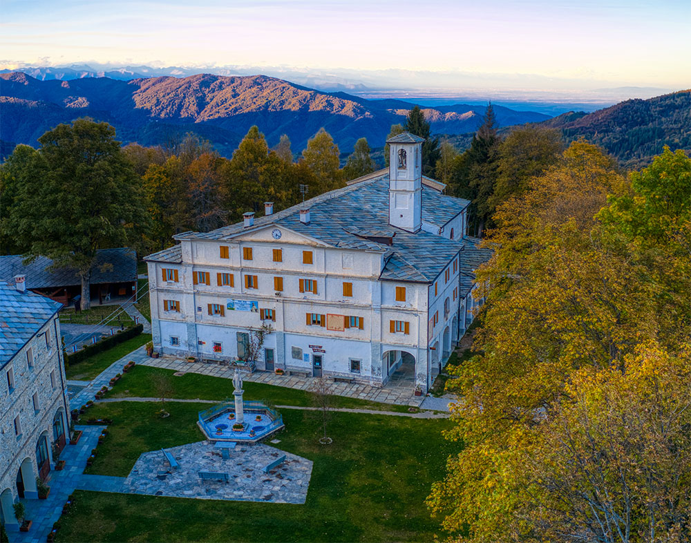
Valmala outdoor
Valmala remains an annual must-visit destination for religious tourism in the region. At the same time, it is set to become a fully-fledged tourist destination, with improved facilities for outdoor excursions.
In recent years, various renovation works have been carried out on the buildings which, from 2025, will form the centrepiece of the outdoor tourist facilities: from the bike-hotel to the Sanctuary, from the extension of the Dusman mountain refuge at Pian Pietro, to the refurbishment of the areas surrounding the sanctuary. In addition, work is continuing on the complete safety upgrading of the entire Strada dei Cannoni, which largely runs through the Busca-Valmala area, as part of a cycle and footpath route straddling the Maira and Varaita valleys.
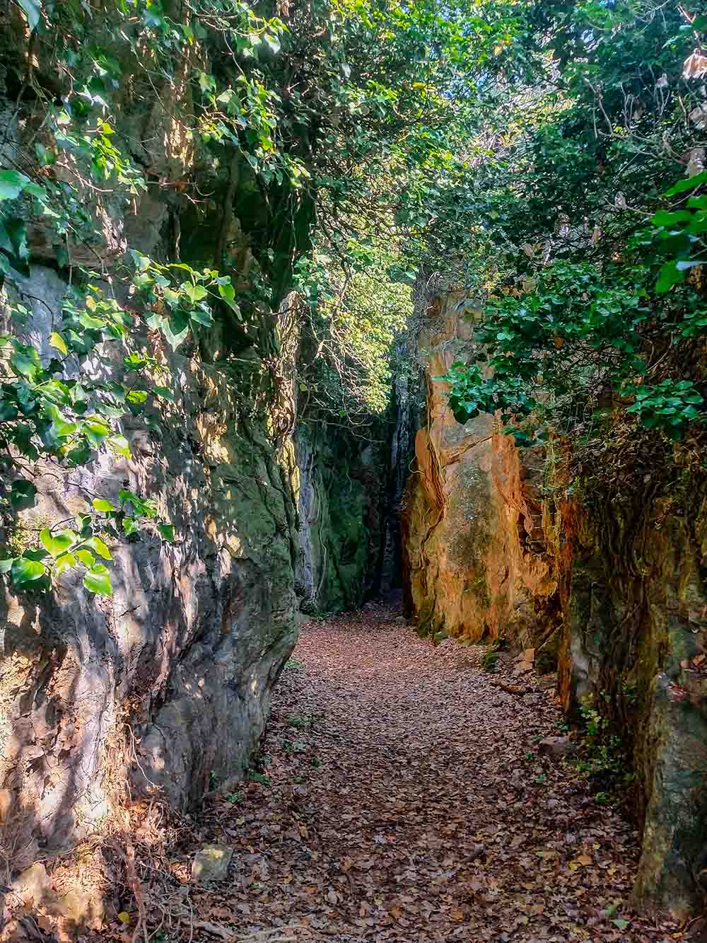
The Alabaster Quarries Trail
Behind Busca, on the hill of the Belmonte Hermitage, lie the picturesque alabaster quarries, a type of ornamental stone used in the interiors of stately homes and churches. The site offers the chance to venture into a canyon varying in width between 2 and 4 metres, but it is situated on private land and can only be visited in small authorised groups accompanied by a hiking guide.
Per informazioni: [email protected]
Once you reach the quarries, the walk continues uphill towards the Hermitage, the highest point of the tour. A shaded, undulating path along the hillside through dense woodland leads you to the trail which, on a steep descent, returns to the centre of Busco, reaching the hamlet of Madonna del Campanile.
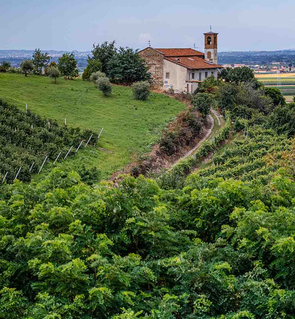
San Quintino – San Martino Ring
The picturesque chapels of San Quintino and San Martino can be reached via a pleasant circular walk which, on the outward journey, follows a flat path through cultivated fields and pastures and, on the return journey, winds along the hillside amongst the vineyards and the lower slopes of Mount Pagliano.
Of course, the route can also be followed in the opposite direction, tackling the uphill stretch first and then enjoying a more relaxing and scenic return journey. The two little churches enchant with their simplicity: San Martino, with its ancient pre-Romanesque façade featuring buttresses made of square-cut grey-green stones, and San Quintino, with its elegant lines, cornices and interior stucco work – two true ‘gems’ of rural art.
Upper Circuit of Monte Pagliano
Setting off on foot from the car park near the Hermitage of Belmonte – an ancient religious building whose origins date back as far as the 13th century, when the convent of Santa Maria di Belmonte was founded – you can reach the summit of Monte Pagliano, which overlooks the mouth of the Varaita Valley, via a gentle walk.
The route winds its way along forest tracks and easy footpaths through dense chestnut woods, offering the chance to admire some examples of traditional stone buildings typical of rural life, which were once used to store tools or dry chestnuts.
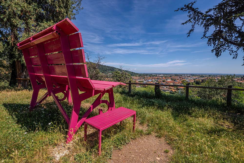
The Giant Bench Ring
The circular walk takes you quickly to a stunning vantage point overlooking the town of Busca. At the easternmost point of the “Ernesto Francotto” park, you’ll find a giant bench in a vibrant cyclamen colour. Climbing onto it and admiring the landscape below, just as Chris Bangle, the creator of these “big benches”, suggests, allows us to feel like children again and see our surroundings through fresh eyes.
The walk continues up the slope from the hamlet of Santo Stefano, joining the track leading to the Hermitage of Belmonte. The return journey, which is all downhill, follows the hillside path of Via Morra San Giovanni, winding through olive groves and charming cultivated terraces, offering a beautiful view of Bisalta, the Cuneo plain and the Ligurian and Maritime Alps.
Morra San Giovanni Ring, Via dei Pescatori, Sant'Alessio
This route is particularly suitable for families or novice cyclists looking to enjoy a gentle ride along quiet back roads away from traffic and take in the peaceful countryside. From Piazza Fratelli Mariano in Busca, take the narrow road which soon leads to the picturesque Ponte Stretto, or ‘Lovers’ Bridge’ – a stone bridge with a very narrow path for pedestrians and cyclists.
The route continues winding through the countryside, initially heading towards the Maira Valley; once past the hamlet of Morra San Giovanni, it heads towards the Maira stream, offering sweeping views of the Maritime and Ligurian Alps. The return journey along Via dei Pescatori is a pleasant stretch that soon allows you to make out the skyline of the town of Busca in the distance.
The Buschese section of EuroVelo 8
The EuroVelo 8 route runs along the northern coast of the Mediterranean; stretching 5,326 kilometres, the cycle route connects Cádiz in Spain to Cyprus, passing through France, Italy, Slovenia, Croatia, Bosnia and Herzegovina, Montenegro, Albania and Greece. In Piedmont, EuroVelo 8 passes through the areas around Cuneo, Turin, Vercelli and Alessandria, covering a total of 271 km.
The municipality of Busca is also involved, as the Cuneo–Turin route passes through the Busca area, following routes that have already been, or will shortly be, equipped with dedicated cycle lanes.
For further information on EuroVelo 8:
Total distance: 5,326 km (entire tour)
Total ascent: 13,820 m (entire route)
Difficulty: OC (entire tour)
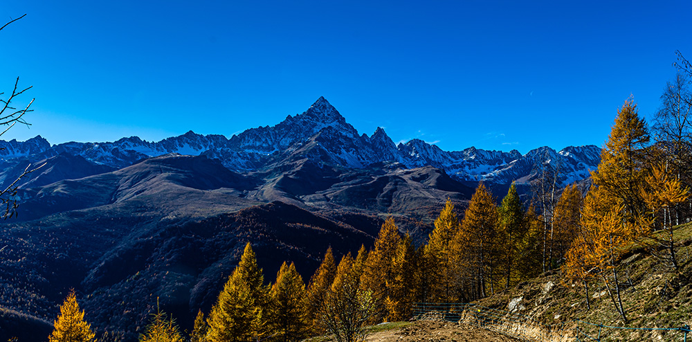
Route 2 VVT: Monte Pagliano Ring
The Valle Varaita Trekking (VVT) is a 12-stage route that covers the entire length of the valley of the same name, ascending the sunny side and descending the opposite side. This allows you to enjoy a wide variety of landscapes: from high-altitude pastures to low-lying villages.
Of particular interest is the option to link up with the routes through the Po and Maira valleys. Route 2 allows you to reach Busca from Rossana via an 8.9 km detour from the main route and, from there, to rejoin the main route at Costigliole di Saluzzo after 11.7 km. This route follows the main paths of Monte Pagliano and is well signposted for hikers.
Guide to the difficulty levels
of the routes
The cycling and hiking difficulty scales are essential tools for safely planning any outdoor adventure. They are used to classify routes based on technical characteristics, the level of physical exertion required and the level of experience needed.
Difficulty scale for
cycle tours

TC
Tourist route: a route along compact, smooth, unpaved roads suitable for vehicles.
MC
For cyclists of intermediate ability: routes on dirt tracks with a slightly uneven or slightly rough surface (sheep tracks, cart tracks, etc.) or on paths with a firm, smooth surface.
BC
For cyclists with good technical skills: a route on very rough dirt tracks or on mule tracks and paths with a fairly rough but reasonably smooth surface, or a compact but uneven surface, with some natural obstacles (e.g. rock steps or tree roots).
OC
For cycle tourists with excellent technical skills: as above, but on trails with very rough and/or uneven surfaces, with a significant number of obstacles.
Hiking difficulty
scale

TC
Leisure: routes along narrow roads, mule tracks or wide footpaths. The routes are generally not long, do not present any navigation difficulties and do not require any specific training other than that typically needed for a walk.
E
Hiking: routes along paths or clearly marked tracks across various types of terrain (pastures, scree, rocky ground, etc.). These are generally marked with coloured paint on rocks and trees or with pyramid-shaped cairns. They may also take place in snowy environments, but only on gently sloping terrain. They require specific hiking equipment and a reasonable ability to navigate, as well as the fitness to walk for several hours.
EE
Experienced Hikers: these are generally signposted routes but with some difficulty: the terrain may consist of slippery grassy slopes, mixed rock and grass, scree, gentle snow-covered slopes or even isolated rocky sections requiring easy climbing (use of hands in some places).
Although these routes do not require any special equipment, there may be sections with fixed aids, albeit not particularly challenging.
They require a reasonable familiarity with the alpine environment, sure-footedness and a head for heights. Physical fitness must be adequate for a day of fairly continuous walking.
Welcome
to Busca!
Being part of life in Busca means sharing a passion for the little things, rediscovering the joy of connecting with nature, art, culture and local traditions. Be like Busca: discover, explore and let yourself be surprised.